Fire & Rescue Services
Ensure safety & efficiency in every emergency. Gain complete visibility with interactive maps & real-time data for effective incident command, minimising risks & maximising collaboration.


Situational Awareness
Quick, clear crew briefing, in half the usual time.

Team Coordination
Clear communication channels with responders in different sectors.

Post Incident Intelligence
Accurate data recording for reliable post-incident review.
IRIS Core
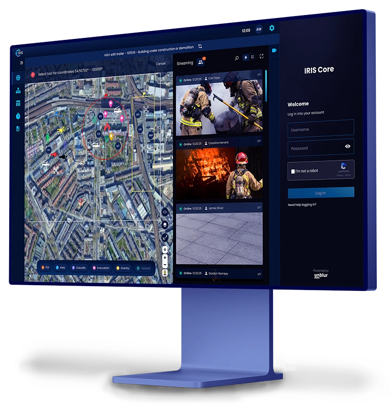
- Manage a common operating picture of the incidents for all responders.
- Receive updates on the actions & decisions of responders.
- Organise hierarchy, responsibilities, & resources within an incident.
- Visualise the location of your team in real-time.
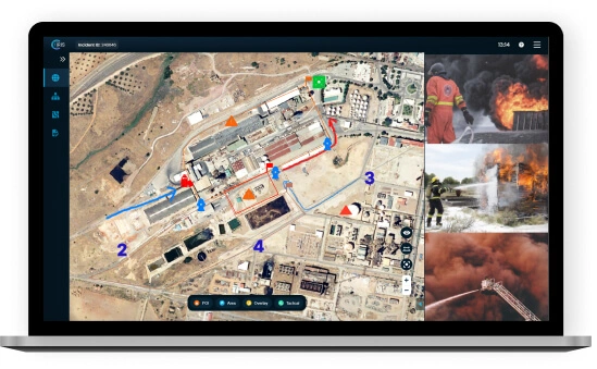
- Visualise incident sectors & their interrelationships, for an efficient incident command.
- Review your response post-incident to ensure intelligent operational learning.


IRIS Tactics
- Transmit video live streams from your mobile phone to convey vital information visually.
- Mark hazards & points of interest detected in the incident area.
- Share priority information such as actions & decisions with attached media & documents.
Incident Command with IRIS
Pre-Incident
- Establish incident checklists in line with your organisation’s operational procedures.
- Overlay building blueprints on the map to pre-plan.
- Mark resources & points of interest such as fire hydrants & evacuation zones.


During the Incident
- Visualise all incident information through the operational field view.
- Mark Points of Interest on the map easily using pre-established icons and symbols.
- Draw access, evacuation and egress plans directly over the map.
- Conduct risk assessments, fill forms & follow pre-established protocols.
- Automatically log tasks finished & decisions taken.
Post-Incident
- Download Documents & Forms generated during the incident.
- Watch back the incident as a replay.

Know More
Find out how IRIS can help your organization. Reach out to us and we will get back to you very soon.